
An intense atmospheric river is sweeping southern B.C. and the Pacific Northwest, leading to treacherous highway conditions.
Meteorologist Nadine Powell said heavy rain began on Sunday morning, then took a break, but was expected to intensify on Monday and Tuesday.
“Rounds of heavy rain and snowfall will be amplified by an atmospheric river tapping into moisture from Southeast Asia,” Powell said. “River levels will definitely be on the rise, but there is some carrying capacity. The bigger hazard will be due to snowfall with travel.”
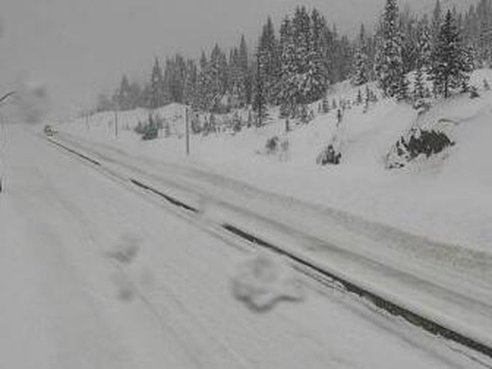
The Coquihalla Highway (Highway 5) from Hope to Kamloops is expected to receive up to 50 centimetres of snow in higher parts by Tuesday.
The Allison Pass in Manning Park between Hope and Princeton is also expected to be treacherous, with similar snowfall levels.
“Watch for hazardous, slippery travel,” Powell said.
The precipitation, with snow at higher levels, will sweep inland as far as the Rockies, she said. Snowfall levels of up to 40 cm are expected in the Kootenay, Columbia and Rockies regions.
As of Monday at 5 p.m., there were
four B.C. highway alerts in place
.
These comprised a heavy rainfall warning for the Sea to Sky Highway (Highway 99) from Squamish to Whistler, a wind warning for the Okanagan Connector between Merritt and Kelowna and three special weather statements impacting the Coquihalla Highway and Highway 3 from Hope to Princeton
The heaviest rain is forecast to hit the U.S. Pacific Northwest hardest, but this does not come without worries in Metro Vancouver.
The near catastrophic flooding of the Sumas Prairie in November 2021 was caused by flooding of the Nooksack River in Washington State.
On Monday, the B.C. River Forecast Centre
issued a high streamflow advisory
for the Central Coast, South Coast and Vancouver Island.
“An atmospheric river aimed at the US Pacific Northwest will broadly impact the south and central coasts of B.C. today through this week, with the heaviest rain forecast for today and Wednesday,” the forecast centre states.
“While the highest precipitation amounts for this storm are expected for Washington and Oregon, there is the possibility heavier amounts could shift northward into British Columbia. Environment and Climate Change Canada have issued rainfall warnings through the region, identifying total precipitation amounts today 50-75 mm in the Lower Mainland area and up to 120 mm for parts of Central Coast. Additional run-off from rain-onsnow and snowmelt is possible.”
None of Metro Vancouver’s North Shore ski hills have opened yet.
Whistler Blackcomb opened on Nov. 21 with limited terrain.