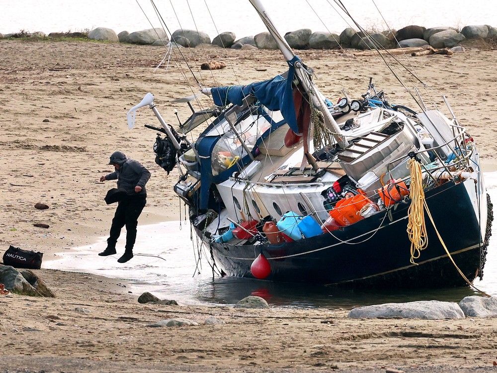

Colder temperatures and possible flurries of snow are on the way for Metro Vancouver after an unseasonably warm, rain-soaked month that brought a parade of storms, high winds and left local ski hills largely bare.
Following another storm that battered Metro Vancouver overnight, leaving more than 100,000 homes without power, temperatures are expected to dip with flurries forecast on higher terrain Thursday, said Environment Canada.
“We’re sort of in a gradual cool down,” said meteorologist Brian Proctor. “We are seeing a return to typical December weather as opposed to this high amplitude pattern, warmth, and intense rainfall we’ve seen.”
Vancouver, which set a record daytime high on Monday of 15.7 C, would see a return to seasonal temperatures of about 8 to 9 C, dipping further down over the weekend, said Proctor.
Flurries are expected Thursday and possibly Saturday, as freezing levels drop — good news for local mountains which have remained closed due to mild temperatures and the lack of snow.

While Proctor said it’s unclear how much impact the flurries could have, it’s a step in the right direction. “Hopefully it can put some snow on the mountain. What little we had has been washed away (by the rain), so any chance to get any snow there is good news.”
It’s been an extraordinarily wet December so far, he noted.
Vancouver, for example, has received about double the typical amount of rain it receives in December, not including the most recent storm. And it’s not over.

About 30 to 40 millimetres of rain is expected to fall in Metro Vancouver overnight into Thursday.
The amount isn’t enough to trigger a rainfall warning, although Proctor said the weather agency might issue one given how much rain has already been fallen.
The last storm brought heavy rain to the region, dumping 70.4 millimetres in Coquitlam, nearly 64 millimetres in Port Moody, and 59 millimetres in Pitt Meadows.
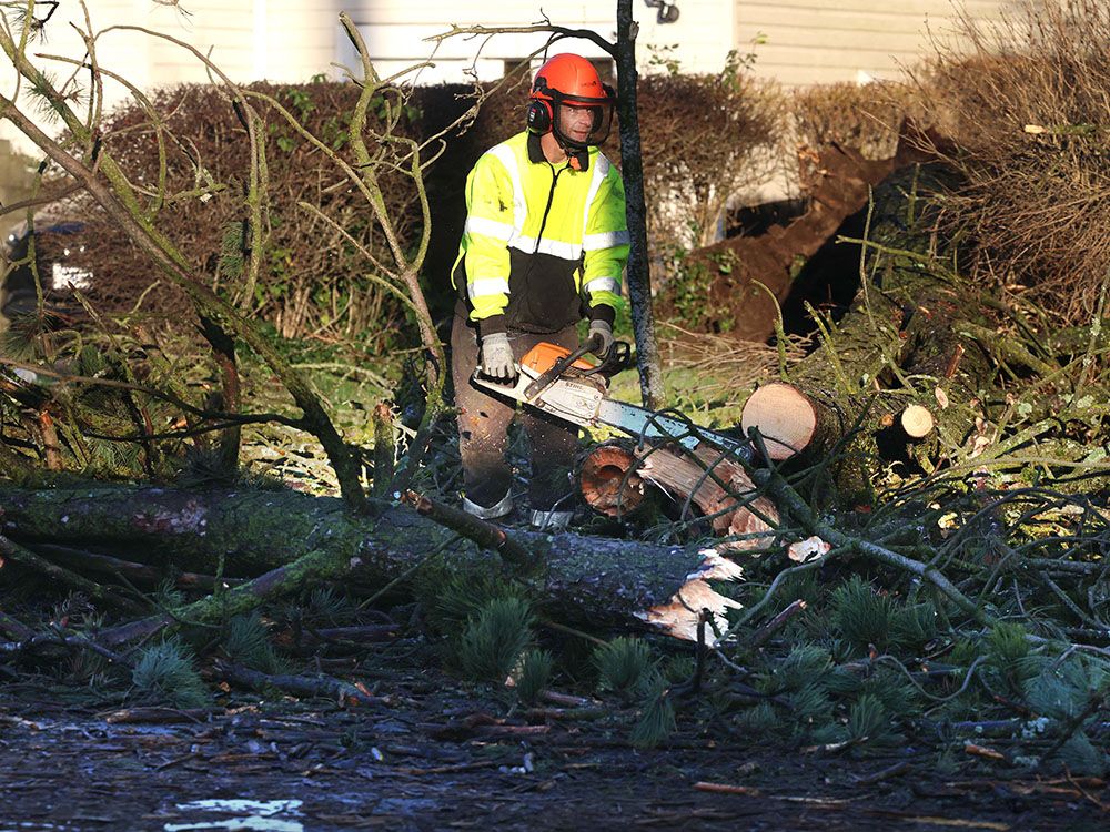
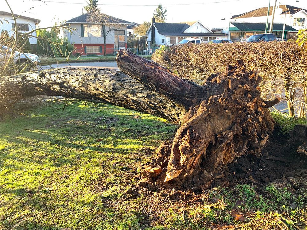
It also brought strong gusts of over 100 kilometres per hour in Hope and about 76 kilometres per hour in Vancouver, which knocked down trees and damaged power lines, poles and other equipment.
At the height of the damage, around 120,000 homes on the B.C. south coast, mostly Metro Vancouver, were without power.
Hardest hit areas included Surrey, where 18,400 homes were in the dark, Port Coquitlam (12,500 homes) and Vancouver (11,200 homes). Another 15,000 homes had no power on Vancouver Island.

Power outages at several schools in Langley meant schools didn’t open until 10 a.m.
The widespread outage marks the third major weather-related outage this week, said B.C. Hydro.
During an earlier storm Monday, a Chilliwack woman was killed by a falling tree branch while walking on a trail at Island 22 regional park with her two children. The park, which is managed by the Fraser Valley Regional District, was temporarily closed.
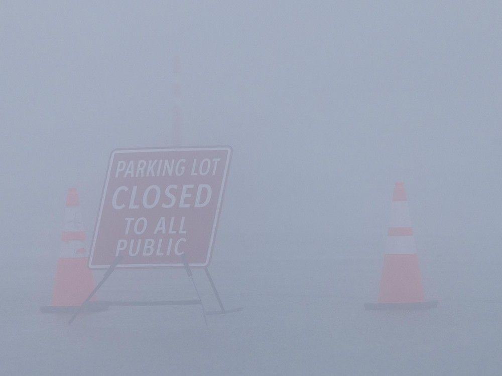
Metro Vancouver staff was out Wednesday assessing parks, trees and trails and would close trails as needed, said spokeswoman Jennifer Saltman.
Earlier this week, the regional authority closed Grouse Mountain and Widgeon Marsh regional parks before the storm as a proactive measure. Grouse Mountain park has since reopened but Widgeon Marsh park, which is located along the Pitt River northeast of Coquitlam, remains closed.
No new park closures were announced Wednesday.
